Aller au contenu principal
Le bac
Voir les favoris
en
Margaux Médoc Tourist Office - Gironde (33)
Discover
Arsac Church
©
Arsac Church
Heritage
Natural landscapes of the Médoc
©
Natural landscapes of the Médoc
Nature
Tiles
©
Tiles
The Gironde estuary
The vineyard
Harvest
©
Harvest
The wine route
Vineyards
©
Vineyards
A change of course
Prepare
Margaux Medoc Tourism
©
Margaux Medoc Tourism
Accommodation
Margaux Medoc Tourism
©
Margaux Medoc Tourism
Gastronomy
Cycling with Margaux Médoc Tourism
©
Cycling with Margaux Médoc Tourism
Leisure activities
Practice
Margaux Medoc Tourism
©
Margaux Medoc Tourism
How do I get there?
Out and about with Margaux Médoc Tourism
©
Out and about with Margaux Médoc Tourism
Brochures
Vineyards
©
Vineyards
Shops and services
Accessible Tourism
©
Accessible Tourism
Accessible tourism
Home
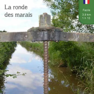
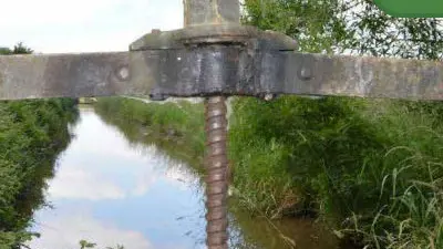
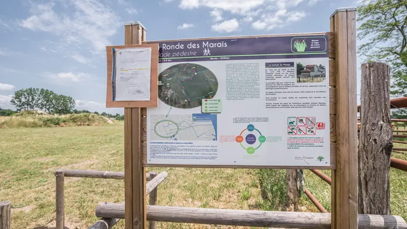
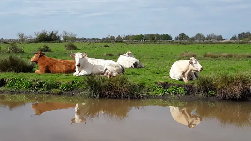
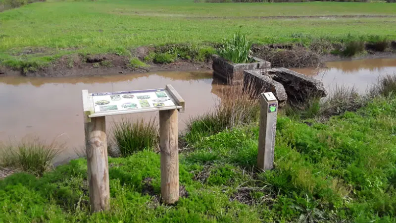
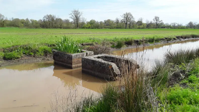
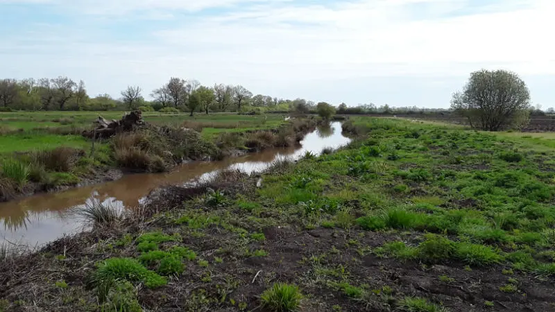
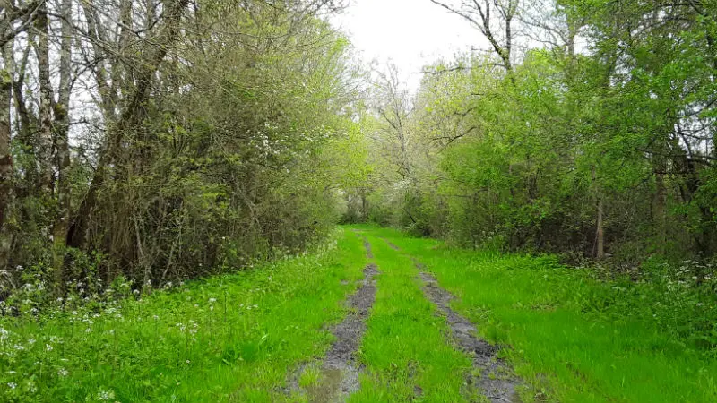
La ronde des marais
La ronde des marais
Loop
Walking
33290 Ludon-Médoc
Getting there
×
Open the itinerary in
Google Maps
Apple Plans
Waze
Mappy
Share
Ajouter aux favoris
Add to my favorites
×
Share this sheet
La ronde des marais
E-mail
WhatsApp
Facebook
X
LinkedIn
Pinterest
©
CDC MEDOC ESTUAIRE
©
CDC MEDOC ESTUAIRE
©
Florence RAFFIN
©
Florence RAFFIN
©
Florence RAFFIN
+ 2
×
©
CDC MEDOC ESTUAIRE
©
CDC MEDOC ESTUAIRE
©
Florence RAFFIN
©
Florence RAFFIN
©
Florence RAFFIN
©
Florence RAFFIN
©
Florence RAFFIN
Documentation
Topoguide LA RONDE DES MARAIS - LUDON MEDOC V2...
Environment
Medoc wine route
Région viticole Médoc
Close
Popular searches
{% label %}
Filter search
Page types
All
Articles
Agenda
Lists
Aucun résultat
/
English
Français
Deutsch
Close
×